

About Course
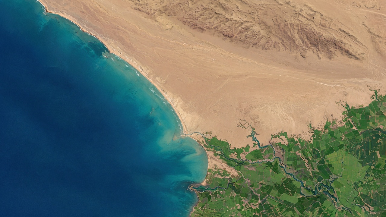
A beginner-to-moderate course on how satellites observe the Earth. You will learn the spectrum, resolution, Landsat and Sentinel-2, image interpretation, and a first vegetation index. Lessons point to USGS, Copernicus, and NASA ARSET material.
Course Content
1. What remote sensing is
-
Observing without touching
-
Passive and active sensing
-
Check: what remote sensing is
2. Light and spectral signatures
3. The four resolutions
4. Landsat and Sentinel-2
5. Reading an image
6. From picture to measurement
7. A first workflow
Student Ratings & Reviews

No Review Yet